The lower Columbia River is as high as it has been since the '96 floods as can be seen here at the Sandy River Delta. This is usually a dry meadow, now a slough connected to the Columbia. The Confluence Project installation can only be reached by boat now. (As I post this a week later, conditions are unchanged)
Nice view of Mt Hood - usually this is dry land.
 |
| We proceeded on to Cascade Locks - had a burger at the Pacific Crest Pub |
Cascade Locks is exit 44 on I-84 East and is the home of the Sternwheeler,
among other things.
www.cascadelocks.net/
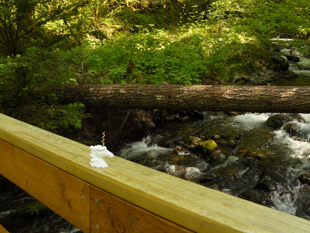 |
| The new bridge over Dry Creek as seen by Mr. Thornsby |
Hike up to Dry Creek Falls on the Pacific Crest Trail from Cascade Locks (trailhead near bridge). You can also drive up the undeveloped road to the Falls, but only if you have 4 wheel drive and high clearance - a bit too narrow for the school bus, I think.
 |
| Mr. Thornsby meets a Giant Stonefly |
This old water diversion was the source of the name, Dry Creek, I think, because when the water was diverted in the past, the creek became dry. Today it is no longer functional. The creek looks much better with water in it.
Dry Creek Falls
 |
| Mr. T with Streamside Violets |
 |
| Stop! Don't drive into the river! (Dalton Point) |


No comments:
Post a Comment