Monday, March 5, 2012

Let the Waterfalls begin! (March 3, 2012)


Find Latourell Falls on the Historic Columbia River Highway a few miles East of Corbett, Oregon.  The land that makes up the State Park where the falls is located was donated by Guy Talbot at the time the highway was constructed.  This is the lower falls, a short walk from the parking area.  Unicorns love waterfalls, so Mr. Thornsby is thrilled that the Friends of the Columbia River Gorge have put together the 25 waterfall challenge this year.

 At the base of the lower falls - always a cool and windy spot whatever the time of year.


 Columnar basalt forms the wall behind the waterfall.  From here the creek goes a short distance into the Columbia River.
Lichens cover the rock face next to the falls

 A short distance to the West is Shepperd's Dell - another land donation that was inspired by the construction of the HCRH.  There are only a couple of pull-outs by the road here and you walk a very short distance to overlook the falls.
 
 Some people claim that the Columbia River Gorge contains the highest concentration of waterfalls in the world. Yes, I think this is possible - aren't we fortunate to have this special place in our backyard?


 Mr. Thornsby says the falling water increases humidity and positive ions in the air - it's all good!
Looking back at the highway from the Dell


Ferns love the waterfalls, too.  These are Deer Fern (Blechnum spicant), an important winter food for deer and elk in some areas.

Saturday, March 3, 2012

Signs of Spring - February 2012


 We found lilies blooming near
Bridal Veil Falls in the last week
of February.


The view from the cliffs doesn't show much new green


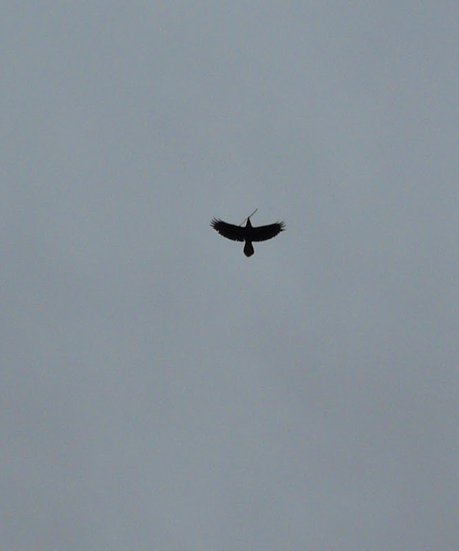
            But ravens are building their nests
And violets are underfoot


 And Friends of the Columbia River Gorge have announced a new hiking challenge for this season:

"Waterfall Wanderlust"  -
25 waterfalls to visit before the end of October this year.  Once again a grand prize - this time a rafting trip!

Friends of the Columbia River Gorge website


Go to "Gorge Hikes" tab and pull down "Waterfall Wanderlust" for more information.


Sunday, January 8, 2012

White River State Wildlife Area

 South of The Dalles, and not in the Gorge, but we went there anyway.  Take State Hwy 197 South from The Dalles past Dufur and just before Tygh Valley turn Right on Shadybrook Road.  Go a couple of miles until this sign.  The road closes in December (will open in spring) and you walk in.


There is a lot of wildlife here - deer are plentiful and so are bobcats (see tracks at right).  Woodpeckers would not remain still for photos today.


Blacktail deer near the creek
The Wildlife Area includes Oak Forest, Grasslands, and rim rock

There is some farm land also. 

Jordan Creek runs near the road in the valley


 On the way home, we drove back over Highway 26 and stopped at the Mt Hood Brew Pub in Government Camp. 
Had some hearty pizza -
Mr Thrornsby thinks that the crust recipe as well as the pizza varieties have changed in recent months, but it is still a good lunch.

Wednesday, December 21, 2011

Winter Solstice in the Gorge 2011

 Lingering high pressure has given us foggy yet mostly dry weather, unusual in December.  Today is the winter solstice, the shortest day of the year and the middle of winter (not the first day of winter, but midwinter, just as June 21 is midsummer's day).  After today, the days will be getting longer!


 Mirror Pond in Rooster Rock State Park.  Swans hang out here in the winter.
 Time to get poetic:

Some Trees by John Ashbery

These are amazing:  each
Joining a neighbour, as though speech
Were still a performance.
Arranging by chance

 To meet as far this morning
From the world as agreeing
With it, you and I
Are suddenly what the trees try

 To tell us we are:
That their merely being there
Mean something; that soon
We may touch, love, explain.

 And glad not to have invented
Such comeliness, we are surrounded:
A silence already filled with noises,
A canvas on which emerges

 A chorus of smiles, a winter morning.
Placed in a puzzling light, and moving,
Our days put on such reticence
These accents seem their own defence.


Wednesday, November 16, 2011

Happy Birthday Columbia Gorge National Scenic Area!

 The 25 trails challenge was part of the celebration of the 25th anniversary of the establishment of the Columbia Gorge National Scenic Area.  There were celebrations in Portland and Hood River, Oregon.  Half of the 25 trails were on private land before the Scenic Area Act was passed.  The legislation made it easier for land to be purchased for public use.  Long may it live!


 As one of two 25 Trails finishers who live in East Multnomah County,  I was interviewed for an article that was published in The Gresham Outlook 11/16/11.  It was almost all good, except for one error I would like to correct here.  The article stated that the unofficial mascot of the Reynolds Natural Resources Academy was a unicorn corkscrew.  Link to The Gresham Outlook  


As you can see from this tee shirt, which was made and sold in the spring of 2009 as a fundraiser
for a student rafting trip, the mascot was a unicorn, not a unicorn corkscrew.  The unicorn corkscrew I
purchased in 2011 and used as a model to take pictures of while on the 25 trails.  The corkscrew has no connection with the Reynolds Natural Resources Academy (which, sadly,  no longer exists).

Here is a picture from that rafting trip down the Sandy River in May of 2009.  We learned about Wild and Scenic Rivers, leave no trace camping, riparian ecology, hydrology, rafting skills, and teamwork.  It is unfortunate that students are unable to experience this now. 

Friday, November 11, 2011

Recapping the Fall Mushroom Season 2011

 Oregon has a bounty of edible mushrooms, especially in the fall, but this year was late to start.  Not until October did we start finding quantities of anything. 
An important warning:
DON'T EAT ANY WILD MUSHROOM UNLESS YOU
CAN POSITIVELY IDENTIFY THE SPECIES!   There are many mushrooms in the wild that can make you sick and some that can kill you.  Better safe than sorry!  Before I started eating wild mushrooms I took a class that included field trips and I spent a lot of time identifying many different kinds of fungus.  In addition, on the way to earning a M.S. degree in Biology I spent a lot of time learning how to use identification keys of many different kinds of organisms. (knowledge is power)


This is Laetiporus sulphureus, or sulfur shelf, also called chicken of the woods.  It grows on the wood of dead trees, helping to recycle the nutrients back into the soil.   Most mushrooms are beneficial organisms, recycling ecosystem nutrients or exchanging nutrients with plants.  Many of the tree species in our forests benefit from mushrooms that grow in association with their roots.   Chicken of the woods doesn't really taste like chicken, but does have a meaty texture. 


Arrow is standing next to a big haul of chanterelles (Cantharellus cibarius) - one of the most common edible mushrooms in Western Oregon.  They can be scattered on the forest floor like yellow flowers, and sometimes hide among the fallen leaves of a similar color.  Chanterelles make an excellent soup using a chicken stock base and adding some cream at the end - yum!


 Here are more chanterelles, a bolete and a cluster of cauliflower mushroom (Sparassis crispa) which looks like the vegetable, but tastes nothing like it. 

Recommended books:
Mushrooms Demystified and
All That the Rain Promises, and More  - both by David Arora

If you are interested in wild mushrooms on public land, there are regulations that apply - check with the local office of the US Forest Service, BLM, or State Forest to learn more.


Wednesday, November 9, 2011

Snow at Larch Mountain 11/4/11

Winter arrived at Larch Mountain recently

We hiked a short distance on the Larch Mountain trail.  The map below shows the location of this trailhead, which can be reached by taking the Corbett exit (#22) from I-84 East, proceeding up the hill and turning left (East) on the Historic Columbia River Highway, passing the store and the fire station and the Women's Forum, and turning right onto Larch Mountain Road for about 14 miles.  You can walk from here to Multnomah Falls or Devils Rest, if you are so inclined.  The grey area in the lower right of the map is part of the Bull Run Watershed - you must stay out of this area to preserve the purity of the water supply for Portland.  Larch Mountain road is not plowed above milepost 10, the gate will be closed there when the road becomes blocked by snow, only to reopen in the spring.